Colorado / Road trips
Four Colorado Drives Worth Doing With a Dog
Including the one that gets you into Rocky Mountain National Park with a dog — which nothing else does.
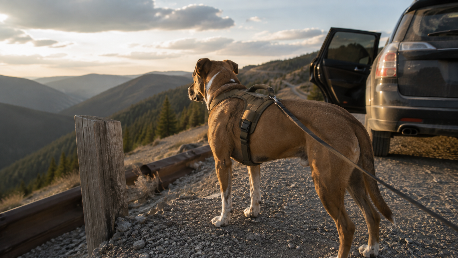
A scenic drive is usually treated as the consolation prize — the thing you do when it’s raining or somebody’s knee hurts. With a dog it’s often the main event, and in one specific case it’s the only event available.
Jaxson has a complicated relationship with the car. He is deeply suspicious of getting in and then furious about getting out. Somewhere in the middle he settles, puts his chin on the window ledge, and watches Colorado go past, and I think it might be his favourite thing we do.
A quick note: some links in this article are affiliate links. If you buy through one we may earn a small commission at no extra cost to you. We only ever point at gear we actually carry. Routes, fees and dates below were verified with CDOT, the National Park Service and Recreation.gov in September 2026 — always confirm before you drive.
Why this matters more than it sounds like it should
Dogs are prohibited on every trail, meadow, and stretch of tundra in Rocky Mountain National Park. What they are allowed to do is travel on established roads and get out in parking areas, campgrounds, and picnic areas, on a leash no longer than six feet.
Which means a scenic drive is the only way to experience Rocky Mountain National Park with your dog. Not the fallback. The only option.
Once you see it that way, Trail Ridge Road stops being a thing you do instead of hiking and becomes a genuinely good day out that happens to be fully legal.
The same logic works more broadly. Colorado’s high passes put you above treeline in an hour, with pullouts every few miles, and your dog gets the whole thing without the altitude gain, the talus, or the eleven miles of trail he isn’t conditioned for.
Set the car up first
This is the part that gets skipped, and it’s the part that determines whether the day is pleasant or a running argument.
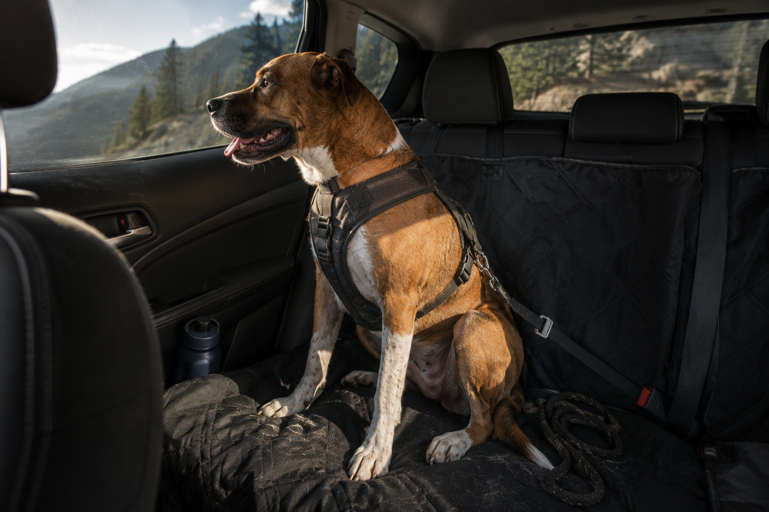
Restrain him. A loose dog in a car is a projectile in a crash and a distraction the rest of the time. We use a padded car safety harness with a short tether into the seatbelt buckle. The tether should be short enough that he can’t reach the front seats but long enough to sit, stand, and lie down. Clipping a tether to a flat collar is worse than nothing — the force goes straight into his neck.
Cover the seat. A quilted seat cover or hammock sounds like a nicety until the first dusty, wet, muddy dog gets in after a pullout. The hammock style also stops him sliding into the footwell on switchbacks, which matters more than you’d think on Independence Pass.
Sort out the airflow. Cracking a window in mountain sun does very little. Point the vents into the back and keep him out of direct sun through glass — a mesh window shade is cheap and works.
Then think about motion sickness before it happens. Colorado byways are switchbacks stacked on switchbacks. Dogs who are fine on the highway can be miserable within twenty minutes of a pass road. Skip the big meal beforehand, keep him facing forwards, get some fresh air in, and stop early rather than pushing through. If he’s drooling heavily or licking his lips repeatedly, that’s the warning sign, and it comes well before the vomiting.
The four drives
1. Trail Ridge Road — Rocky Mountain National Park
US-34 between Estes Park and Grand Lake · 48 miles · tops out at 12,183 feet · road status line 970-586-1222
The highest continuous paved road in the United States, and the one that gets you into the park with a dog. It crosses eleven miles of alpine tundra above treeline, with pullouts the whole way and views that genuinely justify the reputation.
It’s seasonal. The Park Service describes it as closed to through travel from mid-October to late May. In 2026 it opened on May 29. Historic closing dates cluster around the third week of October. Call the recorded status line before you commit to the drive — it’s updated whenever the status changes and runs 24 hours a day.
You need a timed entry reservation, and it’s separate from your park pass. For 2026 the system runs May 22 through mid-October. The standard Timed Entry reservation covers the whole park except the Bear Lake Road corridor and is required between 9am and 2pm. If you’re driving Trail Ridge, that’s the one you want. Reservations cost $2, are booked on Recreation.gov, and are released monthly at 8am MDT, with a second batch at 7pm MDT the night before your date. They sell out.
The workaround worth knowing: enter before 9am or after 2pm and you don’t need a timed entry reservation at all. Early is better anyway — the tundra light is better and the pullouts aren’t full.
Dog rules on this drive: he stays in the car or on a six-foot leash in parking areas and pullouts. He cannot go up onto the tundra, not even a step off the pavement. Alpine plants at that elevation take decades to recover from a footprint. Rangers do patrol, and violations carry fines.
One extra: Old Fall River Road, the park’s original one-way gravel route, typically opens the first week of July and closes mid-October. Shorter season, steeper, narrower, and a completely different experience. Same dog rules.
2. Mount Blue Sky Scenic Byway
Idaho Springs to the summit via CO 103 and CO 5 · 28 miles of climbing · 14,130 feet
The highest paved road in North America, and it’s back. It was closed for roughly two years for reconstruction and reopened over Memorial Day weekend 2026. If you tried and failed to do this drive recently, that’s why.
Reservations are required to drive up and park anywhere along the way, booked on Recreation.gov up to 30 days ahead. The $2 fee is non-refundable and applies even if you hold an interagency annual, senior, military, or access pass — having the pass does not exempt you from the reservation.
Two practical warnings from the operators themselves. There is no cell service at the welcome station, so download or print your reservation before you leave a town that has signal. And vehicles over 30 feet aren’t allowed — the road is narrow, steep, winding, and has no guardrails. Motorhomes are specifically not recommended.
The dog rule here is stricter than most, and it’s explicit: pets must be on a handheld leash at all times, and they cannot be left in an unattended vehicle. That second part is worth planning around. If you were imagining leaving him in the car while you walk up to Summit Lake, you can’t.
Also: the road can close on any given summer day for winter-like conditions. At 14,000 feet that isn’t unusual. Check before you drive up.
3. Independence Pass — CO 82
Between Twin Lakes and Aspen · 32 miles · Continental Divide at 12,095 feet · no fee, no reservation
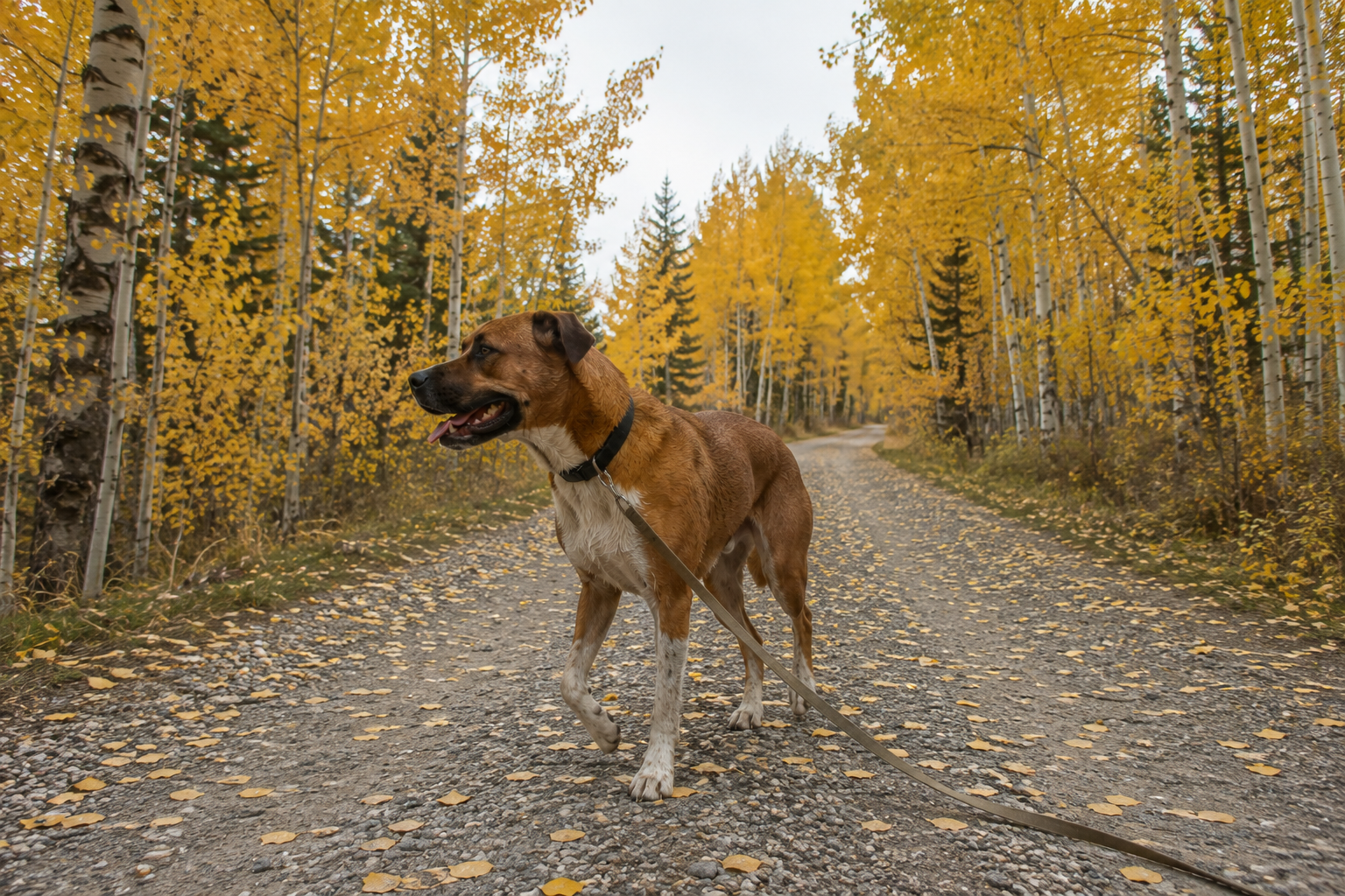
The highest paved state highway in Colorado, and after the reservation systems above, a genuine relief: you just drive it. It runs through San Isabel National Forest on the east side and White River National Forest on the west, which means the pullouts and side roads are national forest land where your dog can actually get out and walk.
Respect the road, though. CDOT is blunt about it: narrow and curvy in many sections, steep drop-offs, and several stretches wide enough for only one vehicle at a time. It is not a relaxed drive and it is not one to do while managing a dog who’s climbing between seats. This is where the tether earns its money.
Seasonal. CDOT typically reopens it the Thursday before Memorial Day weekend and closes it in late October or early November. Recent closing dates: November 17 in 2025, October 31 in 2024, October 30 in 2023. It also closes temporarily mid-season for storms.
4. Peak to Peak Scenic Byway
Black Hawk to Estes Park via CO 119, 72 and 7 · 55 miles · about 80 minutes driving · no fee, no reservation, open year round
Colorado’s oldest scenic byway, established in 1918, and the one we’d send a first-timer on. It sits under an hour from Denver, Boulder, or Fort Collins, and it runs alongside Golden Gate Canyon State Park, Arapaho and Roosevelt National Forests, and the Indian Peaks Wilderness.
Why it’s the best of these four with a dog: gravel roads criss-cross the byway leading to high-country lakes, trailheads and campgrounds, nearly all of it national forest. So you’re not confined to pavement. You can pull off, walk him properly, and get back on. None of the other three offer that.
Two things to keep straight: dogs must be leashed in Indian Peaks Wilderness, and the byway’s northern end delivers you into Estes Park and the RMNP boundary, where the dog rules change completely. Know which land you’re on.
The stops are the trip
A dog measures a drive entirely by what happens when the car stops. Plan the stops and the driving takes care of itself.
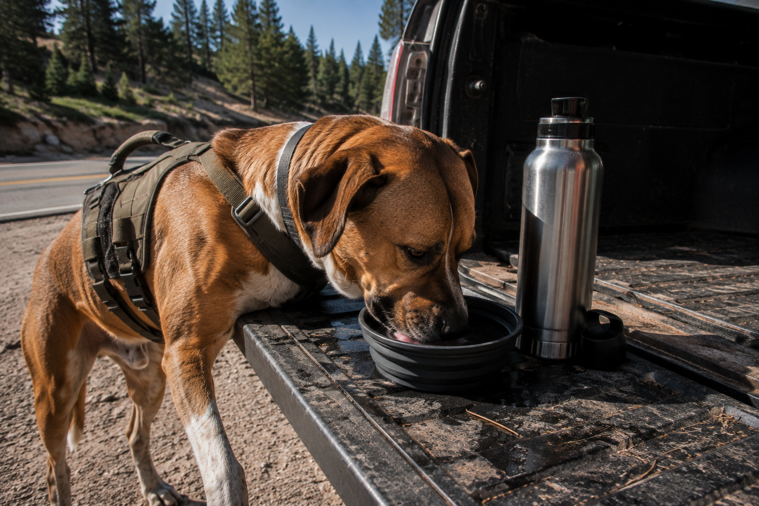
Every hour, minimum. Water, a short walk, and a chance to relieve himself. A collapsible bowl and an insulated bottle live in the door pocket and get used at every stop, not just when he looks thirsty. Dogs at altitude dehydrate faster than they show.
Clip before you open the door. A pullout on a mountain pass has traffic on one side and a drop on the other, and a dog who’s been in a car for an hour comes out with enthusiasm. Leash goes on inside the vehicle, every time. A harness with a rigid grab handle makes this genuinely easier than fumbling at a collar in a doorway.
Never leave him in the car. At 9,000 feet in July, a parked car becomes lethal quickly, and cracked windows do almost nothing. On Mount Blue Sky it’s explicitly prohibited. Everywhere else it’s just a bad idea with a worse outcome.
Watch what you stop for. These roads are the best bighorn sheep and mountain goat viewing in the state, which sounds like a highlight and is actually a hazard. A barking dog changes wildlife behaviour on a road with no shoulder. If animals are near the pavement, stay in the car and enjoy it through the window.
Altitude, in a vehicle
You can go from Denver at 5,280 feet to the top of Trail Ridge at 12,183 in under two hours without walking a step. That’s a faster elevation gain than any hike, and your dog experiences it exactly as you do.
Signs to watch for at the top: panting that won’t settle even at rest, lethargy, stumbling on the pullout, vomiting, or pale gums. The response is simple and immediate — drive down. Altitude problems resolve on the way down, and on these roads down is only ever twenty minutes away.
Dogs with less margin than they look like they have: flat-faced breeds, puppies, seniors, and anyone carrying extra weight. If your dog is visiting from sea level, a 12,000-foot pass on day one is a lot to ask.
The night-before list
- Book the reservation if the drive needs one. Trail Ridge and Mount Blue Sky both do. Independence Pass and Peak to Peak don’t.
- Download or screenshot it. There’s no cell service at the Mount Blue Sky welcome station and patchy coverage on all four routes.
- Check the road is actually open. Call 970-586-1222 for Trail Ridge, or 511 for CDOT road conditions statewide.
- Screenshot the nearest emergency vet to wherever you’re headed.
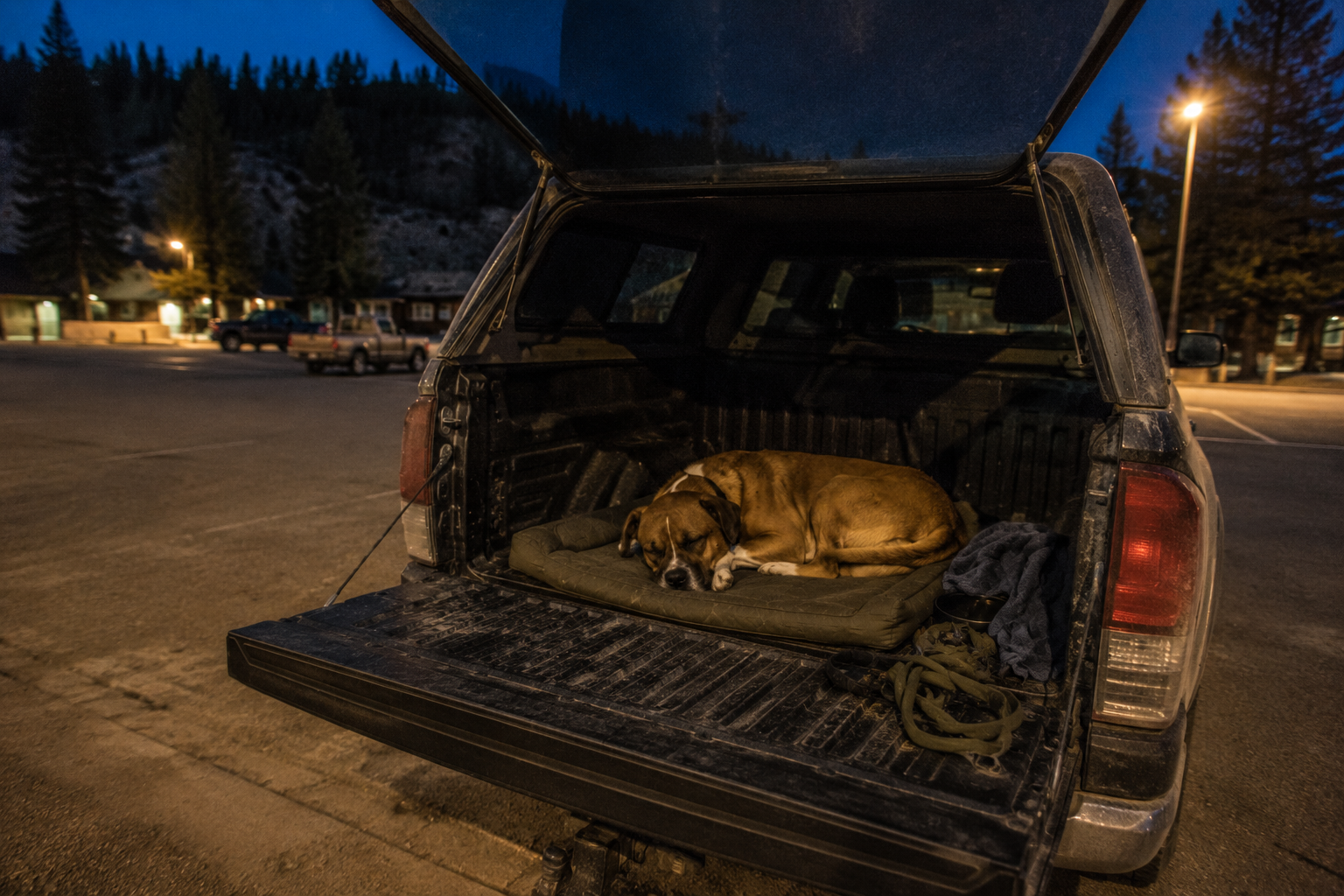
- Load water for him separately from yours, and put a travel bed or his own blanket in the back so the car smells like something familiar.
Five minutes at a kitchen table, and it’s the difference between a drive and a saga.
When to go
- Late May to June
- The passes reopen. Trail Ridge in late May, Independence Pass the Thursday before Memorial Day, Mount Blue Sky over Memorial Day weekend. Snow walls beside the road are at their most dramatic and the crowds haven’t fully arrived.
- July to August
- Everything open, everything busy. Afternoon thunderstorms build fast above treeline, so drive the high sections in the morning. This is also when a hot car is genuinely dangerous.
- September to early October
- The best window, and it isn’t close. Aspens turn gold, crowds thin, temperatures suit a dog, and everything is still open. Peak to Peak and Independence Pass in the last two weeks of September are as good as Colorado gets.
- Mid-October onward
- The gates start closing. Trail Ridge and Independence Pass shut for winter. Peak to Peak stays open year round and is quietly excellent in snow, provided your tyres are honest about it.
The part that takes years
Four byways is the easy half. The harder half is knowing which pullouts have shade, which side roads off Peak to Peak lead somewhere worth walking, which mountain towns at the end of the drive will bring your dog a water bowl without being asked, and which stretches are empty at eight on a Saturday. That’s the part we’ve been building destination by destination.
See the Colorado Dog Adventure GuideCheck these before you drive
- Trail Ridge Road recorded status line — 970-586-1222, updated 24 hours a day
- Rocky Mountain National Park timed entry reservations — Recreation.gov
- Rocky Mountain National Park pet regulations — National Park Service
- Mount Blue Sky Scenic Byway and Peak to Peak Scenic Byway — Colorado Department of Transportation
- Independence Pass travel information — Colorado Department of Transportation
- Statewide road conditions — dial 511 in Colorado, or COtrip